Hey, there! Log in / Register

Checking R2-D2 for background radiation
By adamg on Wed, 04/13/2022 - 10:04pm
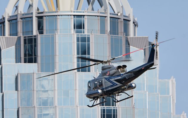
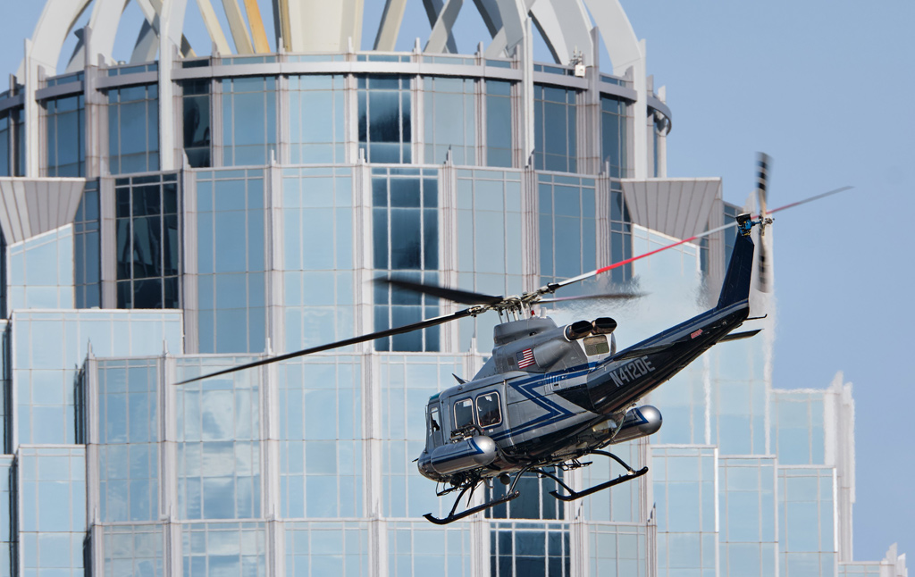
Mark Clancy scored a great shot of the National Nuclear Security Administration helicopter today as it flew part of the Marathon route to take in background radiation levels just in case something happens where that might become important to know.
The copter crew does this every year in the days before the race.
Neighborhoods:
Free tagging:
Ad:
Support Universal Hub
Help keep Universal Hub going. If you like what we're up to and want to help out, please consider a (completely non-deductible) contribution.
Comments
I saw it flying exceptionally low this afternoon
seemingly at eighth-floor level, near the intersection of Mass. Ave. and Marlborough Street in the Back Bay, around 5 pm.
I'm still unclear as to what the point is
Are they looking for radiation sources that might indicate a dirty-bomb-in-waiting, or are they establishing a baseline so that they can tell what areas have been contaminated once one goes off?
It's a baseline
Measuring background radiation before the event. Presumably any significant background radiation detected from unusual areas would be noticed and checked out, too.
https://www.energy.gov/nnsa/articles/nnsa-conduct-aerial-radiation-asses...
Also a baseline for detection
If someone moves stuff in after this, it might be detectable.
There is considerable background radiation in the area from radon.
I found this article which
I found this article which provides some interesting info about the program. Part of it is training, and part of it is having before measurements so that in the event of an after they have something to compare it to to figure out what changed.
https://www.linkedin.com/pulse/homeland-security-today-nnsa-conducts-bac...
I forgot where but I believe in past years I've read that even things like the granite bedrock or changes in hospital diagnostics programs from year to year can be enough to visibly change on the data maps that they collect if the baselines aren't refreshed.