
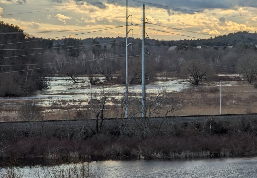
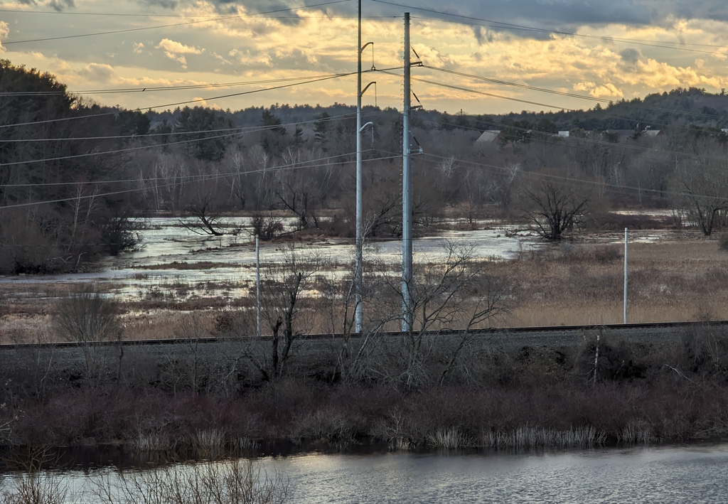
The Charles, the Needham Line and the Long Ditch overflowing into Cutler Park. See it larger.
Yesterday afternoon, just before the deluge that gave us That Rainbow, the Long Ditch that connects two loops of the Charles at the Dedham/Needham line (dug by the busy-beaver colonial settlers who also gave us the Mother Brook), had overflowed its banks and was flooding the nearby marshes of Cutler Park. As it was designed to do.
In the 1970s, the US Army Corps of Engineers considered building a series of dikes to prevent flooding along the upper Charles River, but instead decided to buy land along the river and leave it alone, so it could act like a sponge and sop up water after heavy rains or snow melt, after which it would more slowly release the water back into the river.
The Corps has since bought more than 8,000 acres of land between roughly I-495 and Watertown to create the Charles River Natural Valley Storage Area (after Watertown, levels in the Charles are controlled by the giant pumps at the Charles River Dam).
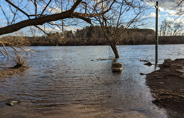
Still, the Charles was higher than usual yesterday. In the photo below, the tree and signpost on the right at the Millennium Park kayak launch are normally on dry land (as are the steps you can't see that lead down to the water):
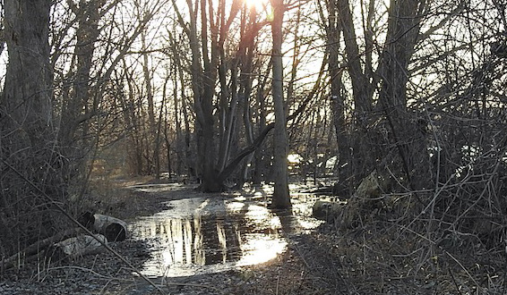
Mary Ellen reports the river had yet to recede at that point this morning, and reported that the woody area along path through the woods near the kayak launch was also unusually full of water:
A bit further downstream, Sawmill Brook, which winds along the park and empties into the Charles, had also overflowed its banks - into the marshes set aside by the Corps.
Earlier:
The Charles at more normal levels in July (with a photo of the drought conditions the year before).
Like the job UHub is doing? Consider a contribution. Thanks!
Ad:
Comments
Broken link
By BB from Dot
Sun, 01/14/2024 - 1:47pm
the "read more" link does not work
Fixed
By adamg
Sun, 01/14/2024 - 2:19pm
Sorry about that.
Not Just The Charles
By John Costello
Sun, 01/14/2024 - 2:06pm
Army Corps bought land and easements up and down the Neponset as flood control as well.
Learn about what will happen
By anon
Sun, 01/14/2024 - 2:16pm
Learn about what will happen if an ecosystem in the just one chain in the earth, water, and its creatures and vegetation continue to be polluted and uprooted and displaced.
The Long Ditch is Older than the Corps of Engineers
By necturus
Sun, 01/14/2024 - 3:24pm
It was dug in the 1650s. Mother Brook is even older; it was dug in 1639.
The Charles was very high today.
By SwirlyGrrl
Sun, 01/14/2024 - 10:33pm
We were out along the Esplanade and it was about as far up in its banks as I have ever seen it.
Mystic is running high, too.
I wonder if it is the volume coming downstream, the inability to shoot it out over the king tide, or both?